Oceania Pictures, Images and Stock Photos
Browse 2,258,500+ oceania stock photos and images available, or search for oceania map or oceania satellite to find more great stock photos and pictures.
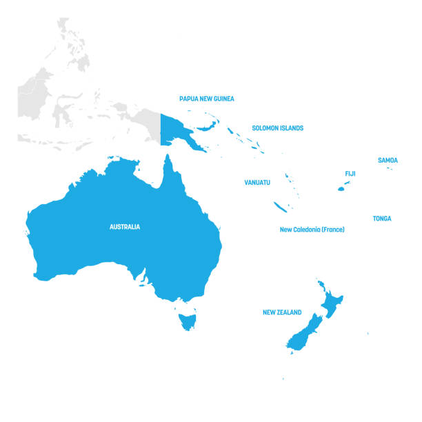
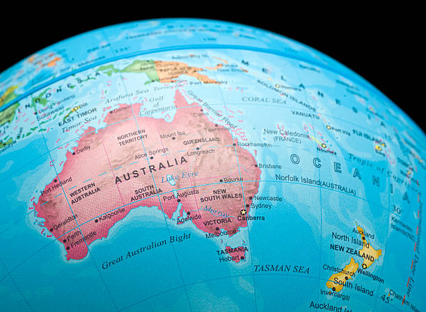
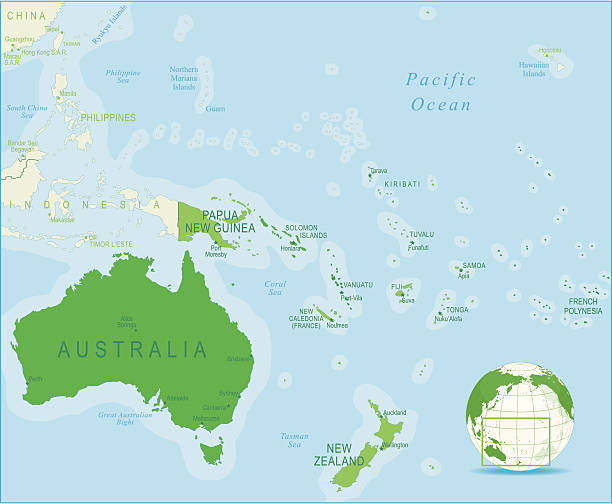
Australia and Oceania Region. Map of countries in South Pacific Ocean. Vector illustration.
Oceania political map. Region, centered on central Pacific Ocean islands. With Melanesia, Micronesia and Polynesia, including Australasia and Malay Archipelago. Illustration. English labeling. Vector.
Vector of highly detailed Australia map - The url of the reference file is : http://www.lib.utexas.edu/maps/world_maps/time_zones_ref_2008.pdf
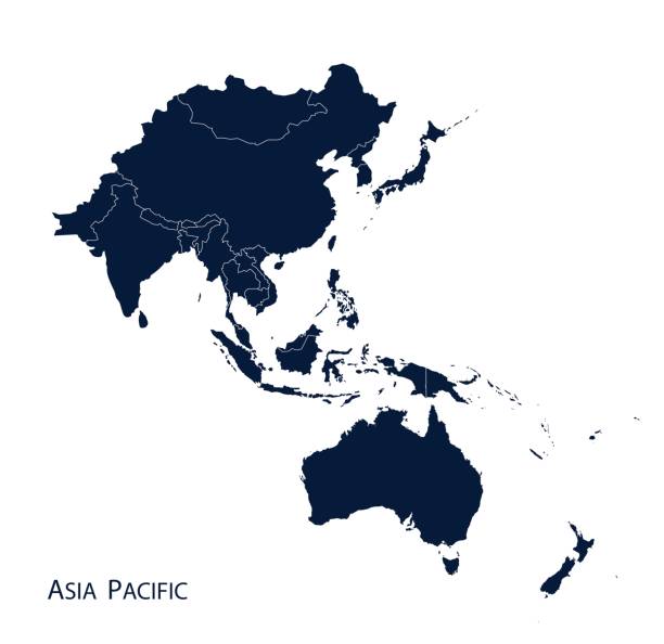
Map of Asia Pacific, Vector.
http://dikobraz.org/map_2.jpg

Boat Wakes in Sydney Harbour with the Sydney Opera House and Harbour Bridge in the background
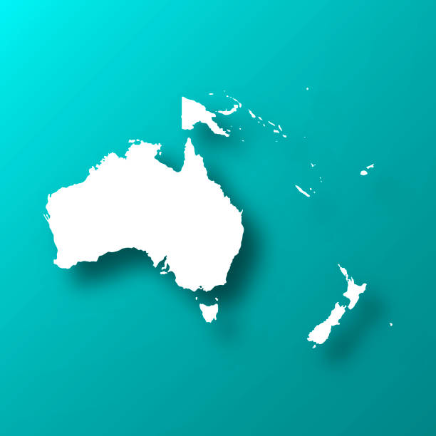
detailed oceania countries map.

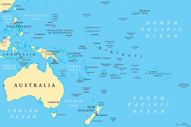
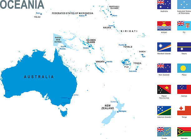
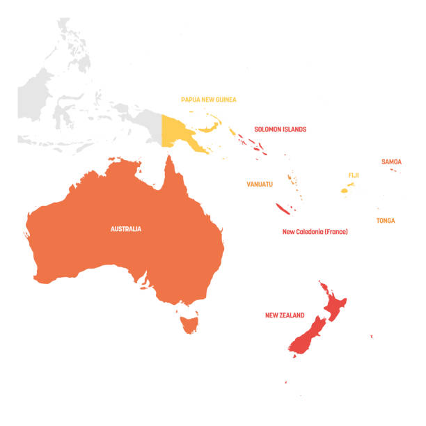
Oceania political map with countries. English labeling. Region, comprising Australia and the Pacific islands with the regions Melanesia, Micronesia and Polynesia. Gray illustration over white. Vector.
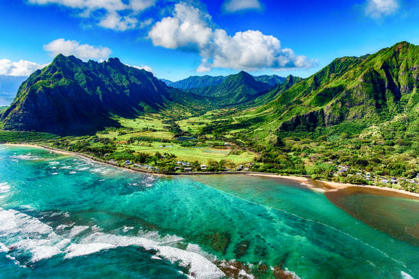
The beautiful and unique landscape of coastal Oahu, Hawaii and the Kualoa Ranch where Jurassic Park was filmed as shot from an altitude of about 1000 feet over the Pacific Ocean.
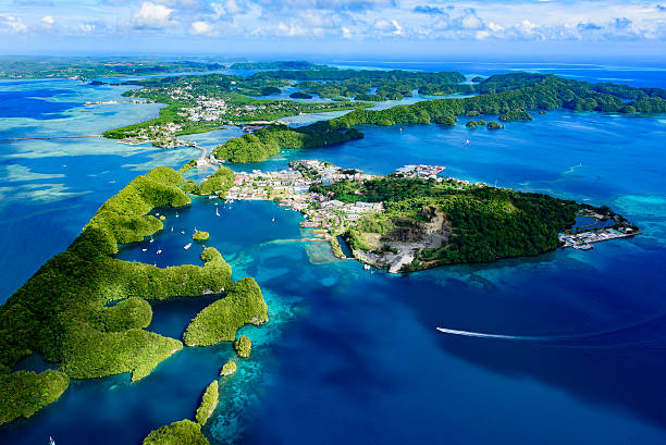
Full view of Palau Malakal Island and Koror - World heritage site -
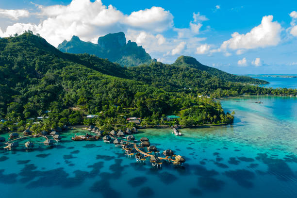
Bora Bora aerial drone video of travel vacation paradise with overwater bungalows luxury resort, coral reef lagoon ocean beach. Mount Otemanu, Bora Bora, French Polynesia, Tahiti, South Pacific Ocean
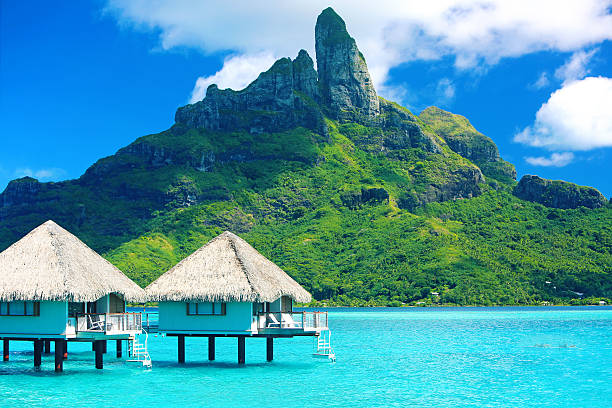
Beautiful Bora Bora
http://s017.radikal.ru/i404/1110/87/2c00b7bbd3ec.jpg

Globalized world, the future of digital technology. Connections and cloud computing in the virtual world. World map with satellite data connections. Connectivity across the world.
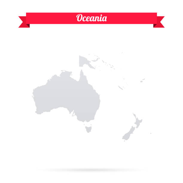
Map of Oceania isolated on a blank background and with his name on a red ribbon. Vector Illustration (EPS10, well layered and grouped). Easy to edit, manipulate, resize or colorize. Please do not hesitate to contact me if you have any questions, or need to customise the illustration. http://www.istockphoto.com/portfolio/bgblue
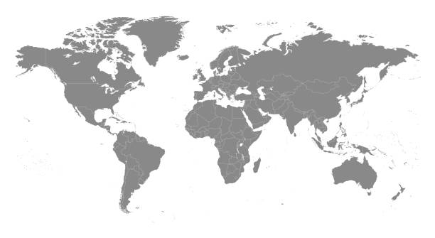
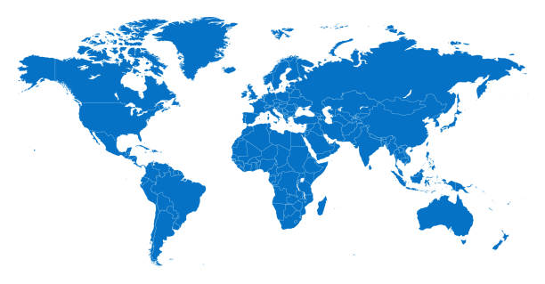
Highly detailed vector World map, with gray countries and white borders on a white background. High detail vector illustration
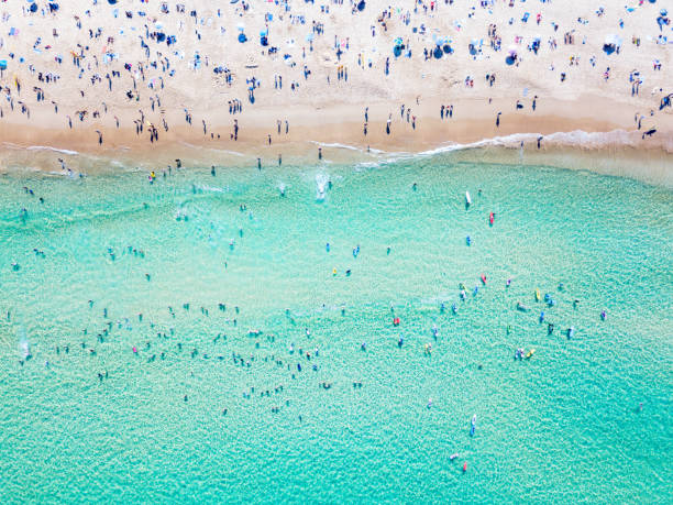
An aerial view looking down at Bondi Beach in Sydney on a busy day with blue water
Australia and Oceania Region. Map of countries in South Pacific Ocean. Vector illustration.
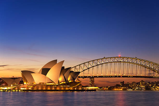
Sydney, Australia - September 5, 2013: Beautiful Opera house view at twilight time with vivid sky and illumination on the bridge.
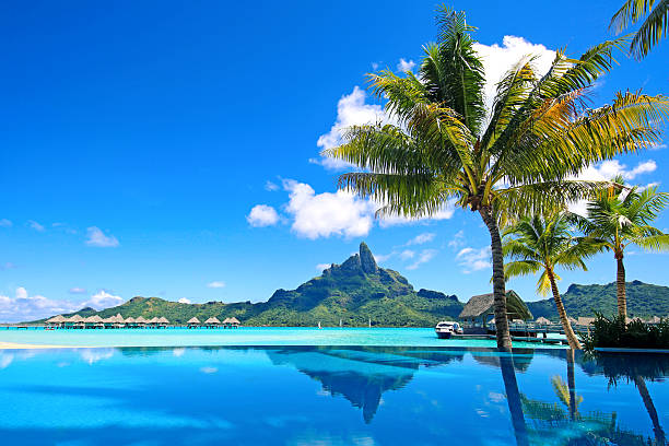
Mt Otemanu reflected in swimming pool.
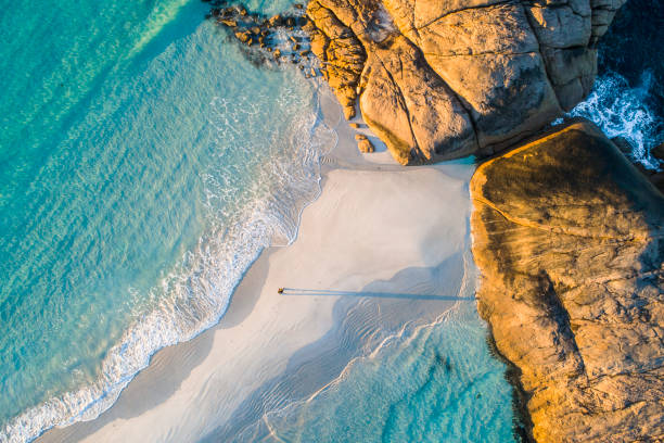
Coastline aerial photograph of aquamarine ocean and man walking along white sandbar beach in Australia
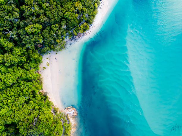
Amazing blue water at the beach taken from above looking down.
Aerial view of Waiwera River, near to Waiwera thermal pools in Auckland, New Zealand.
South Port Beach boardwalk at sunset, Port Noarlunga, South Australia
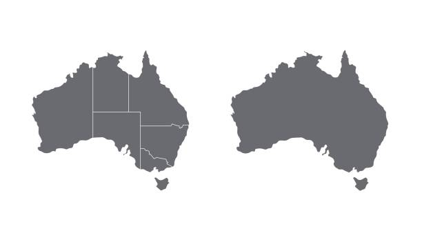
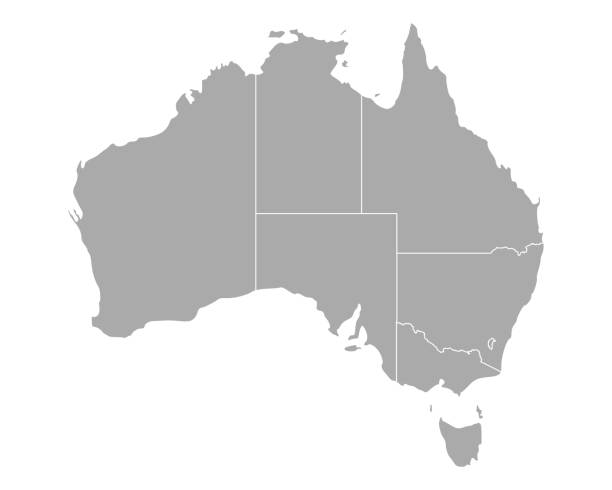
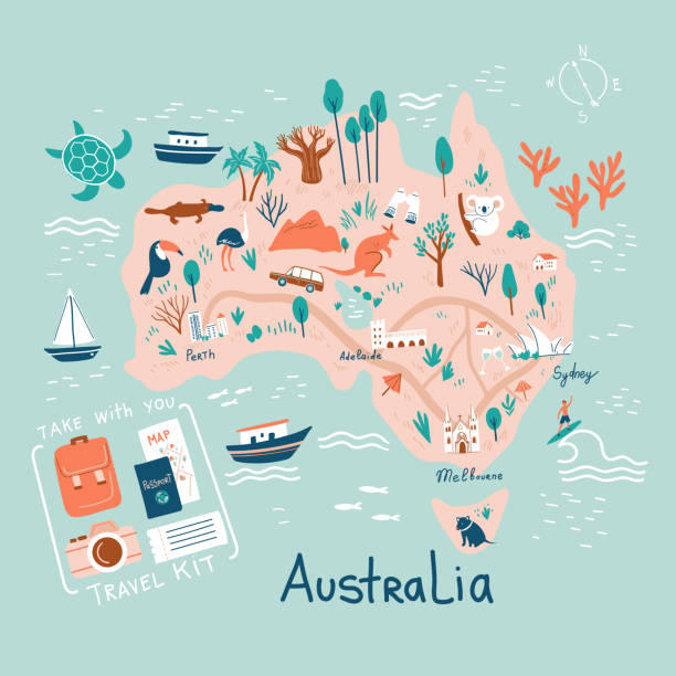
Australia map on white background with shadow. Stock vector
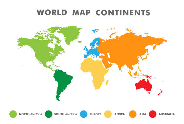
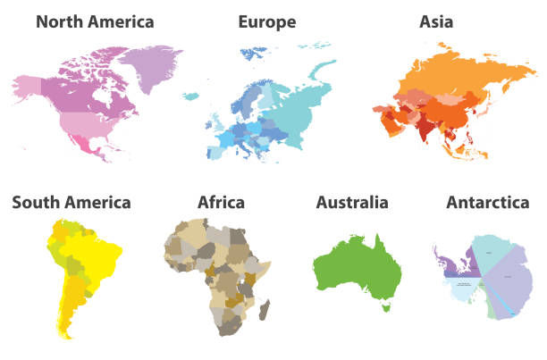
World map divided into six continents in different color. Colored map of the World with countries borders. Vector stock
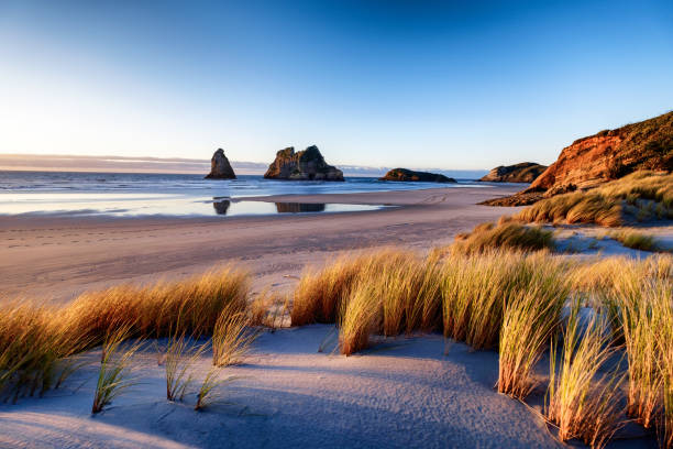
Explore the wild and rugged northern most point of the South Island, New Zealand. Wharariki Beach is a beautiful tourist attraction and destination. The image is peaceful, breathtaking and amazing.
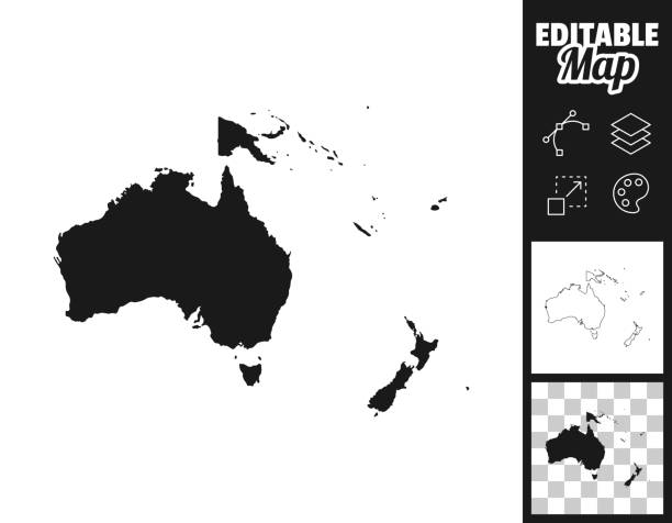
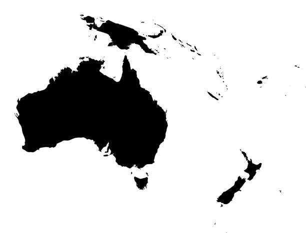
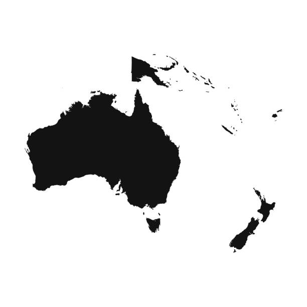
Map of Oceania for your own design. Three maps with editable stroke included in the bundle: - One black map on a white background. - One line map with only a thin black outline in a line art style (you can adjust the stroke weight as you want). - One map on a blank transparent background (for change background or texture). The layers are named to facilitate your customization. Vector Illustration (EPS file, well layered and grouped). Easy to edit, manipulate, resize or colorize. Vector and Jpeg file of different sizes.


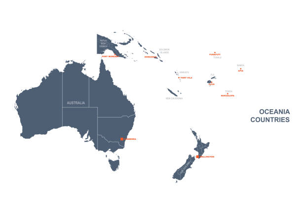
Map of Australia and Oceania with countries and borders. Vector illustration.
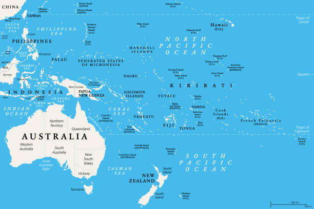
Oceania, political map. Australia and the Pacific, including New Zealand. Geographic region, southeast of the Asia-Pacific region, including Australasia, Melanesia, Micronesia and Polynesia. Vector.

Port Adelaide, South Australia, February 14, 2017: MS Ovation of the Seas cruise ship leaving Outer Harbour at sunset.

Australia with city lights from space at night - Earth daytime series (Elements of this 3d image furnished by NASA - source maps from http

Surfing is a way of living in Australia and young and mature sporty women go surfing every morning.
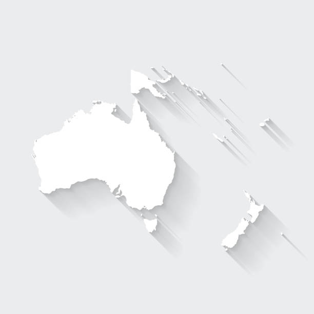
White map of Oceania isolated on a gray background with a long shadow effect and in a flat design style. Vector Illustration (EPS10, well layered and grouped). Easy to edit, manipulate, resize or colorize.
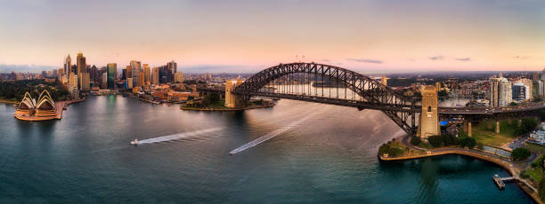
Major landmarks of Sydney city around Harbour on both sides of waterfronts connected by the Sydney Harbour bridge in wide aerial panorama at sunrise.
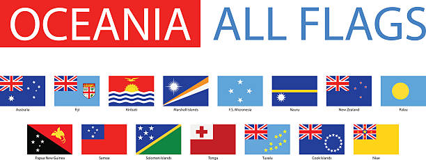
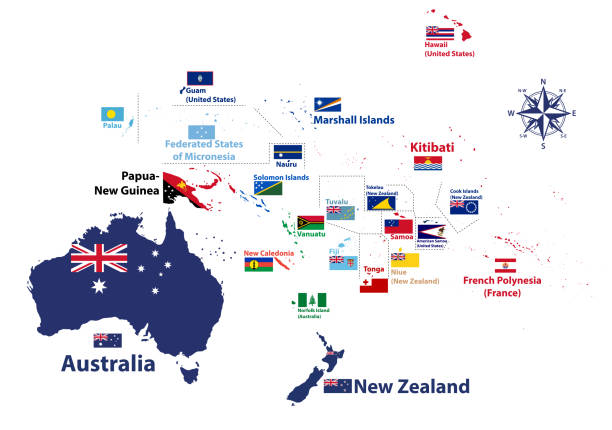
Vector Set of Flat Oceanian Flags
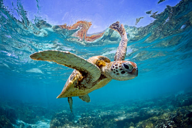
Green sea turtle captured swimming in the shallow waters of the Southern Great Barrier Reef, QLD Australia.

World Map Geography Deatiled Vector Illustration in Blue. Individual continents included.

Australia and Oceania Region. Colorful map of countries in South Pacific Ocean. Vector illustration.
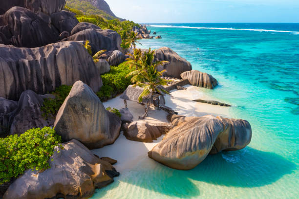
Anse Source D'Argent - the most beautiful beach of Seychelles. La Digue Island, Seychelles. High quality photo
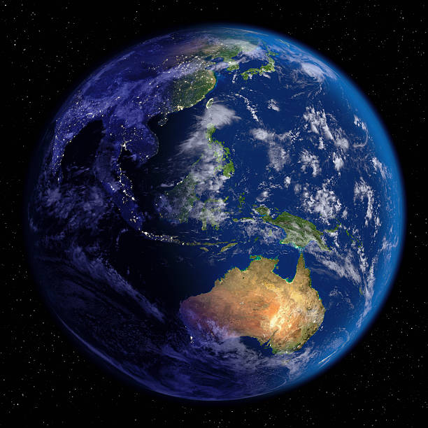
Planet Earth at Night & Day (Far East & Oceania).
Vector of highly detailed world map - each country outlined and has its own labeled layer - The url of the reference file is : http://www.lib.utexas.edu/maps/world.html - 1 layer of data used for the detailed outline of the land

modern style blue world earth globe asia japan
White map of Oceania isolated on a trendy color, a blue green background and with a dropshadow. Vector Illustration (EPS10, well layered and grouped). Easy to edit, manipulate, resize or colorize.

minimal editable stroke australia map icon. flat trend change line thickness graphic lineart design art isolated on white. concept of australian coastline label and world trip nation tourism
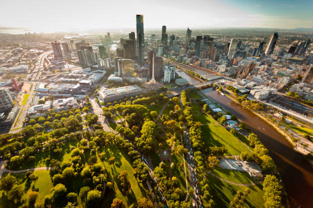
Aerial view of Melbourne Australia at sunset with landmarks
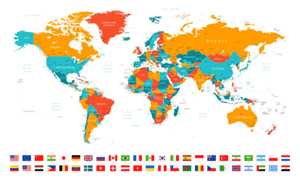
High Detailed World Map and Flags - borders, countries and cities - vector illustration

Greens Pool in Western Australia
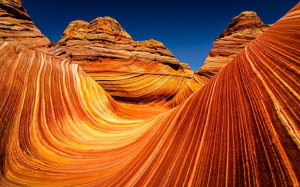
The Wave is a sandstone rock formation. It is located near the Arizona-Utah border, on the slopes of the Coyote Buttes, in the Paria Canyon-Vermilion Cliffs Wilderness, on the Colorado Plateau. It is famous among hikers and photographers for its colorful, undulating forms, and the rugged, trackless hike required to reach it.
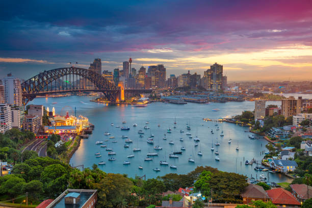
Cityscape image of Sydney, Australia with Harbour Bridge and Sydney skyline during sunset.
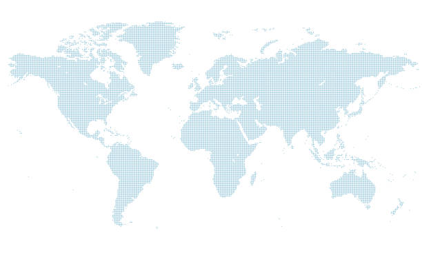
blue dotted world map. normal size. center line United Kingdom.
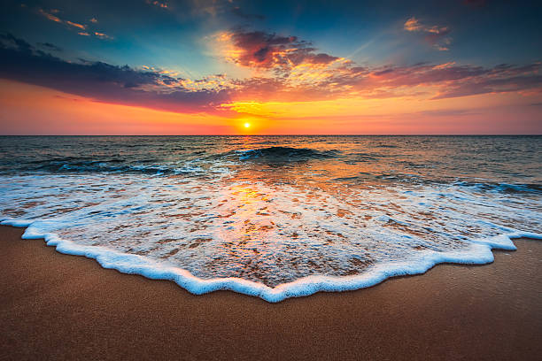
Beautiful cloudscape over the sea, sunrise shot